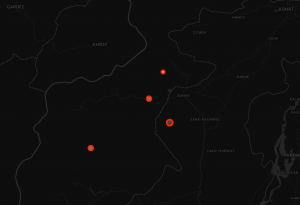
Geo-temporal map of US Drone Strikes from the last 10 years.

This is a revisit of an old post using different tools
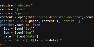
Ruby was used to parse US Drone Strike API
CartoDB was used to render map
Camtasia was used to record animation
Ruby


Geo-temporal map of US Drone Strikes from the last 10 years.

This is a revisit of an old post using different tools
Ruby was used to parse US Drone Strike API
CartoDB was used to render map
Camtasia was used to record animation
Ruby
