
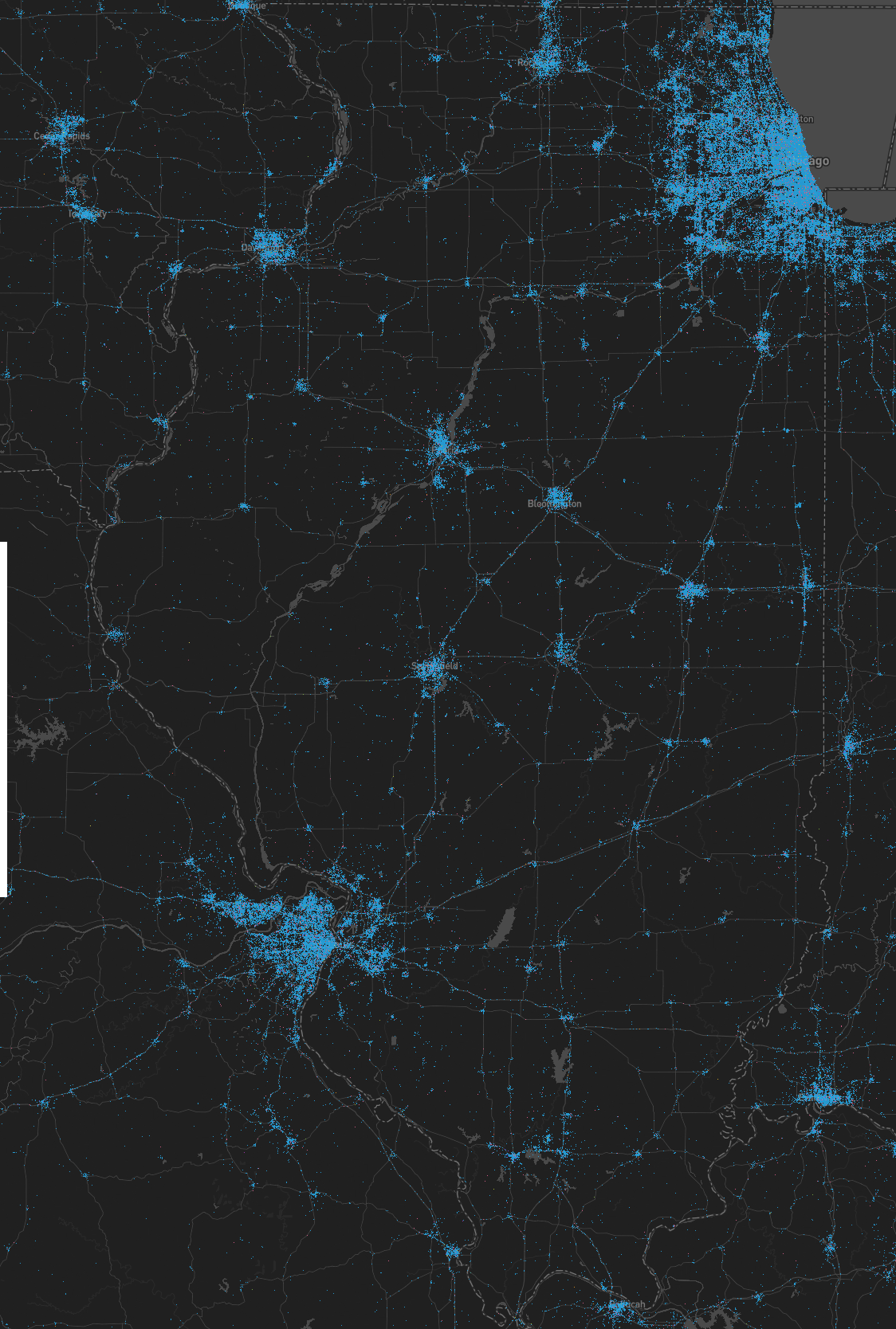
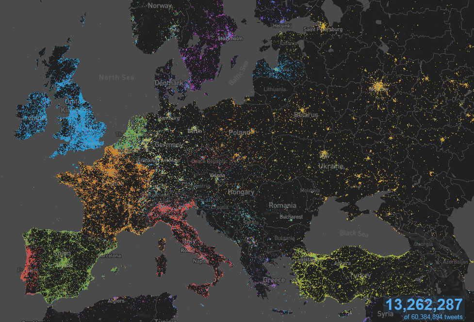
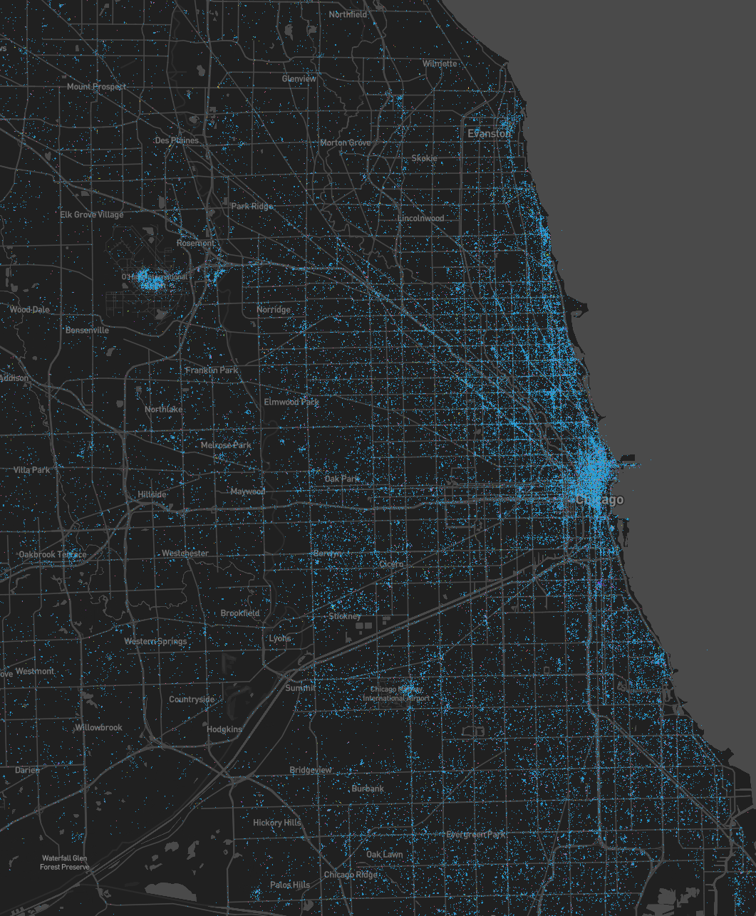
Playing around with the MapD demo. In order to show off their plotting speed capabilities, they provide a sample set of twitter geo data to view on an web based interactive world map. Time range of tweets displayed is from Nov,1 2014 through Feb 28, 2015. I don’t know how inclusive the tweet data is, and what percentage of the total tweets this sample contains.
Here are some screenshots I took of Tweets made from Illinois to Chicago.
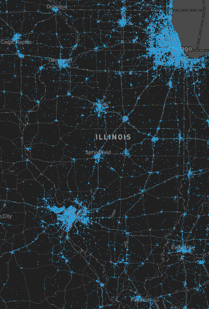
Click to enlarge [1124×1668]
![]()
[1061×1286]
[1027×1015]

[1256×686]
